Greenland Gate: Why the Internet Is Freaking Out Over This Map Scandal
# **Greenland: The Newest Hotspot in Internet Cartography**
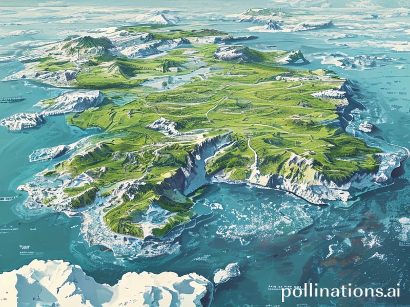
In the vast, meme-filled landscape of the internet, a peculiar trend has emerged: the **Greenland map**. Yes, you heard it right. The world’s largest island, known for its icy tundras and polar bears, has suddenly become the center of attention—not for its melting glaciers or Arctic expeditions, but because of its **size** on world maps.
### **Why is Greenland Trending?**
For years, cartographers have been accused of **Greenland gatekeeping**—making the island appear much larger than it actually is. On most world maps, Greenland looks almost as big as Africa, when in reality, it’s only about **14 times smaller**. This discrepancy has sparked a wave of internet outrage, memes, and even a **#GreenlandGate** movement.
But why now? Why has this map-related grievance suddenly gone viral?
1. **The Power of Misinformation (or Misrepresentation)**
– The internet loves a good conspiracy, and the idea that world maps have been **lying to us** for decades is too juicy to ignore. People are sharing side-by-side comparisons of Greenland and Africa, exposing the **cartographic fraud** that has gone unnoticed for so long.
2. **The Rise of “Map Tok” Culture**
– Thanks to TikTok and Instagram, map-related content has become a **thriving niche**. From “How to Fold a Map” fails to “Countries That Don’t Exist,” maps are now a **hot topic** in internet culture. Greenland’s exaggerated size fits perfectly into this trend, making it the **perfect meme fodder**.
3. **A Call for Geographic Justice**
– Some argue that Greenland’s oversized portrayal is a **colonial hangover**, a remnant of European cartographers who prioritized their own regions over others. The trend has sparked discussions about **decolonizing maps** and representing the world more accurately.
### **Cultural Impact: More Than Just a Meme**
While the trend started as a joke, it has evolved into something more significant. Here’s why:
– **Educational Awareness**
– The trend has forced people to **question what they’ve been taught** about geography. It’s a fun way to learn that maps are **not to scale** and that Greenland is, in fact, **not a continent**.
– **A Push for Better Cartography**
– Some are advocating for **new map projections** that represent landmasses more accurately. The trend has given rise to discussions about **equal-area maps**, like the Gall-Peters projection, which shows countries in their true proportions.
– **A Symbol of Internet Activism**
– The #GreenlandGate movement is a prime example of how the internet can **mobilize around seemingly trivial issues** and turn them into something meaningful. It’s a reminder that even a **map size debate** can spark global conversations.
### **Why This Matters**
At first glance, the Greenland map trend might seem like just another internet fad. But dig deeper, and you’ll find it’s about **more than just geography**. It’s about **challenging norms, questioning authority, and demanding accuracy**—even in something as simple as a map.
So, the next time you look at a world map, remember: **Greenland is not as big as you think**. And that’s okay—because the internet has finally given it the **justice it deserves**.
—