Tuesday Snow Forecast: Full List of Expected Snowfall by Region
The National Weather Service has released its latest snow forecast for Tuesday, with varying accumulations expected across the country. From the Pacific Northwest to the Midwest and Northeast, communities are preparing for winter weather that could disrupt travel, schools, and daily routines. Below is a detailed breakdown of what different regions can expect, along with broader implications for infrastructure and public safety.
Regional Breakdown: Where Snow Will Fall
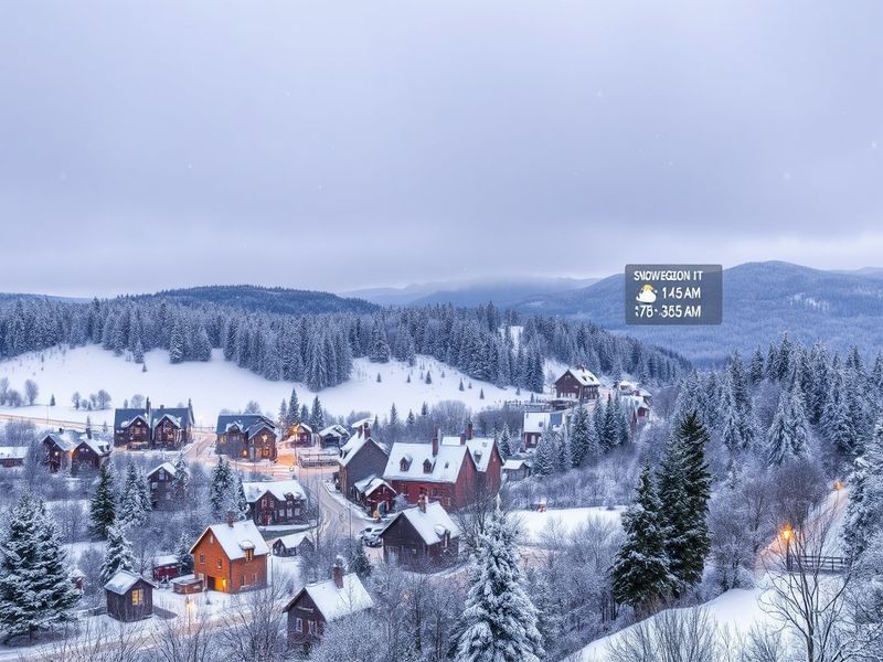
Snowfall totals will range from light dustings to significant accumulations, depending on the area. The forecast highlights several key regions where winter weather advisories and winter storm warnings are already in effect. Below is a full list of expected snowfall by region.
- Northeast (New England, Mid-Atlantic): 3 to 8 inches, with higher amounts possible in coastal areas. Blizzard conditions may develop in parts of Massachusetts, New Hampshire, and Maine.
- Midwest (Great Lakes, Ohio Valley): 2 to 6 inches, with lake-effect snow enhancing totals near the Great Lakes. Wind chills could drop below zero.
- Pacific Northwest (Cascades, Western Washington/Oregon): 6 to 12 inches in mountainous regions, with lower elevations seeing 1 to 3 inches.
- Rocky Mountains (Colorado, Wyoming, Montana): 4 to 10 inches, with higher elevations receiving over a foot in some areas.
- South (Appalachians, Tennessee Valley): Light accumulations of 1 to 3 inches, though ice could complicate travel in higher elevations.
- Plains (Kansas, Nebraska, Oklahoma): Minimal snowfall, but strong winds could create blowing snow and reduced visibility.
Timing and Travel Impacts
The timing of the snowfall will play a critical role in its impact. In the Northeast, snow is expected to begin late Monday night and continue through Tuesday evening, creating hazardous road conditions during morning and evening commutes. The Midwest and Great Lakes regions will see snow develop early Tuesday morning, with peak intensity during the afternoon. Travelers in these areas should expect delays at airports, particularly in Chicago, Detroit, and Cleveland.
For those planning to drive, here are key considerations:
- Check local road conditions before departing. Many states activate snowplows and salt crews in advance.
- Avoid unnecessary travel during the heaviest snowfall periods, especially in areas under winter storm warnings.
- Keep an emergency kit in your vehicle, including blankets, water, and a flashlight.
- Allow extra time for commutes, as reduced visibility and slick roads will slow traffic.
Broader Implications: Infrastructure and Public Safety
Beyond immediate travel disruptions, Tuesday’s snowfall could strain local infrastructure and emergency services. Cities in the Northeast and Midwest are bracing for power outages, particularly in areas with heavy, wet snow that could weigh down trees and power lines. Utility companies have already positioned repair crews to respond quickly to outages.
School districts in affected regions are weighing closures or delays, with decisions typically made early Tuesday morning. Public transit systems, including buses and trains, may operate on reduced schedules to ensure passenger safety. In urban areas like Boston and New York, subway systems could experience slowdowns due to ice accumulation on tracks.
The economic impact of the storm could also be significant. Retailers may see a boost in sales of winter supplies, while restaurants and small businesses in downtown areas could experience lower foot traffic. Airlines, already dealing with delays, may face additional cancellations if conditions worsen.
Preparation Tips for Homeowners and Businesses
Residents in snow-prone areas should take steps to prepare their homes and properties. Clearing gutters and downspouts can prevent ice dams, which often lead to roof leaks and water damage. Homeowners with generators should ensure they are in working order, as power outages are a common risk during winter storms.
For businesses, now is the time to review emergency plans. Retailers should stock up on essentials like shovels, salt, and generators, while restaurants and service providers may need to adjust staffing levels to account for weather-related absences. Many companies in the Northeast have already implemented remote work policies for Tuesday to reduce risks.
“Winter storms like this one test the resilience of communities and infrastructure,” said meteorologist Jane Carter of the National Weather Service. “While we can’t control the weather, preparation and awareness can minimize its impact.”
Looking Ahead: What’s Next for Winter Weather
While Tuesday’s storm is the primary focus, forecasters are already monitoring another system that could bring additional snow to the Rockies and Northern Plains by the end of the week. The pattern suggests an active winter season, with more storms likely in the coming weeks. Residents in these regions should stay informed and prepare for ongoing winter weather.
For updates on snowfall totals and travel advisories, visit the Dave’s Locker News section or check the National Weather Service’s website. Keeping an eye on local forecasts will help you stay ahead of any changes.
As winter continues, communities must remain vigilant and proactive. Whether it’s clearing snow from sidewalks, checking on elderly neighbors, or planning for potential power outages, small actions can make a big difference in staying safe during severe weather.