How Lightning Maps Track Storms and Save Lives Beyond Weather Reports
Lightning maps have transformed how we track and understand one of nature’s most powerful forces. These real-time visualizations combine meteorological data with advanced mapping technology, offering unprecedented insights into storm patterns, frequency, and intensity. While they’re often used for safety and forecasting, their broader implications extend into climate science, infrastructure resilience, and even renewable energy strategies.
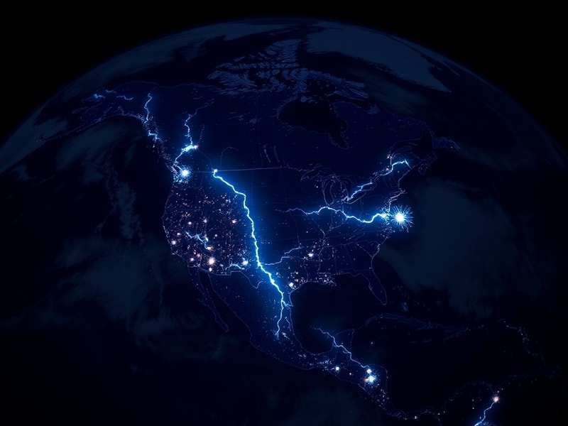
How Lightning Maps Work
At their core, lightning maps aggregate data from a global network of sensors that detect electromagnetic pulses produced by lightning strikes. Each sensor records the time, location, and intensity of a strike, which is then triangulated with data from nearby sensors to pinpoint its origin with remarkable accuracy. This information is streamed to central databases, where it’s processed and displayed on interactive maps within seconds.
The technology behind these systems relies on two primary methods: ground-based networks and satellite observations. Ground-based systems, like the U.S. National Lightning Detection Network (NLDN), use a series of antennas to triangulate strikes across vast distances. Satellites, such as those operated by NASA and NOAA, capture lightning activity from space, providing coverage over oceans and remote regions where ground sensors are sparse. Together, these systems create a comprehensive view of global lightning activity.
Popular platforms like Weather Underground’s Lightning Map and Blitzortung offer user-friendly interfaces that display lightning strikes in near real-time. Users can filter data by time, intensity, and geographic location, making it easier to track storms as they develop. Some advanced maps even incorporate machine learning to predict where lightning is most likely to strike next, adding a layer of proactive forecasting.
Why Lightning Maps Matter Beyond the Weather Report
While lightning maps are invaluable for meteorologists and emergency responders, their applications stretch far beyond daily weather updates. One of the most critical uses is in wildfire prevention and management. Lightning is a leading cause of wildfires, especially in dry, remote areas where human activity is limited. By tracking lightning strikes in real time, fire agencies can quickly identify potential ignition points and deploy resources before fires escalate. In California, for example, lightning maps have become a key tool in the state’s wildfire prevention strategy, helping to reduce response times and mitigate damage.
Infrastructure resilience is another area where lightning maps play a vital role. Power grids, telecommunications networks, and transportation systems are all vulnerable to lightning strikes, which can cause outages, equipment damage, and even fires. Utility companies use lightning data to identify high-risk areas and implement protective measures, such as installing surge protectors or rerouting power during storms. In aviation, lightning maps help airlines plan safer flight paths, avoiding areas with high electrical activity to reduce the risk of strikes during takeoff and landing.
Climate science is also benefiting from the growing availability of lightning data. Researchers are studying the relationship between lightning frequency and global warming, with some studies suggesting that rising temperatures could lead to more frequent and intense lightning activity. This has implications for atmospheric chemistry, as lightning produces nitrogen oxides that contribute to ozone formation. Understanding these patterns could help scientists predict future climate scenarios and their impact on weather systems.
Limitations and Challenges
Despite their utility, lightning maps are not without limitations. One of the biggest challenges is coverage gaps, particularly in remote or oceanic regions where ground-based sensors are sparse. While satellites help fill these gaps, their data can be less precise than ground-based measurements, leading to potential inaccuracies in strike location and intensity. Additionally, the cost of maintaining and expanding sensor networks can be prohibitive, limiting access to high-quality data in some parts of the world.
Another issue is the interpretation of the data. Lightning maps provide raw strike information, but translating that data into actionable insights requires expertise. For example, a high concentration of strikes in a particular area doesn’t necessarily indicate an impending disaster; it could simply reflect seasonal storm patterns. Meteorologists and emergency planners must combine lightning data with other environmental factors, such as humidity, wind speed, and fuel moisture levels, to make informed decisions.
Privacy concerns also arise with the widespread use of real-time tracking. While lightning maps primarily focus on natural phenomena, the technology could theoretically be adapted for other forms of electromagnetic detection, raising questions about data security and surveillance. Ensuring that these systems are used ethically and transparently will be crucial as they become more integrated into public and private infrastructure.
Looking Ahead: The Future of Lightning Mapping
The next frontier for lightning maps lies in integration with other emerging technologies. Artificial intelligence and machine learning are already being used to enhance predictive capabilities, but their potential is far from fully realized. Future systems could incorporate data from drones, IoT sensors, and even citizen science initiatives to create even more detailed and responsive models. Imagine a world where your smartphone alerts you to an impending lightning strike in your neighborhood, or where renewable energy farms automatically adjust their operations based on real-time electrical activity in the atmosphere.
Another exciting development is the expansion of global networks. Initiatives like the Global Lightning Network (GLN) aim to create a unified system that combines data from multiple sources, improving accuracy and coverage worldwide. This could be particularly transformative for developing countries, where limited access to advanced meteorological tools has historically left populations more vulnerable to extreme weather events.
As climate change continues to alter weather patterns, the role of lightning maps will only grow in importance. They offer a window into the dynamic and often unpredictable behavior of our atmosphere, providing scientists, policymakers, and the public with the tools to adapt and respond. Whether it’s preventing wildfires, protecting infrastructure, or advancing climate research, lightning maps are proving to be far more than just a tool for weather enthusiasts—they’re a vital component of our resilience in an increasingly volatile world.