Understanding the World Map: A Comprehensive Overview
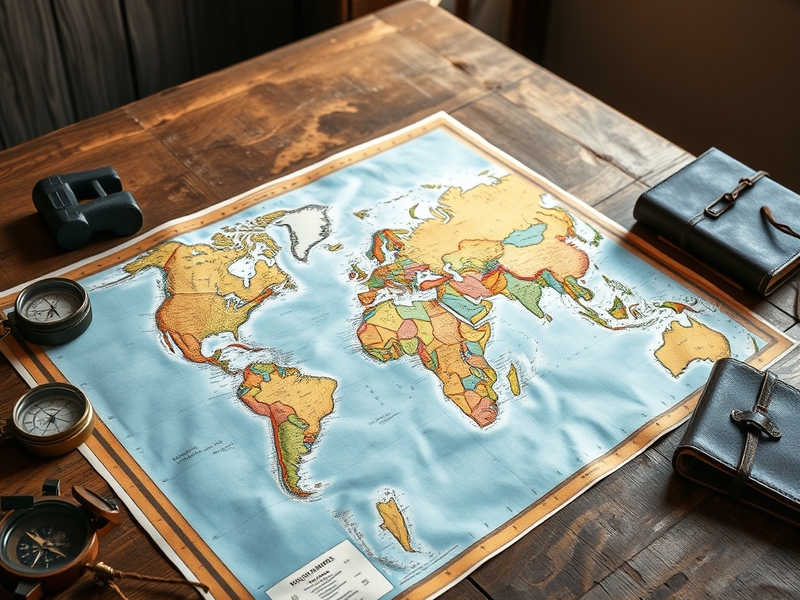
The world map serves as a fundamental tool for understanding our planet’s geography. It visualizes the Earth’s continents, countries, and oceans, enabling individuals to grasp the spatial relationships between different regions. While the basic depiction of a world map is familiar to many, its significance extends far beyond mere aesthetics. This article explores the various types of world maps, their uses, and their historical evolution.
Types of World Maps
World maps come in various forms, each serving different purposes. Here are some common types:
- Political Maps: These maps emphasize territorial boundaries, displaying countries, states, and cities. They are essential for understanding political divisions.
- Physical Maps: Focusing on natural features, physical maps highlight mountains, rivers, and lakes. They provide insight into the Earth’s topography.
- Thematic Maps: These maps concentrate on specific themes, such as climate, population density, or economic activities. They are valuable for research and analysis.
- Topographic Maps: These detailed maps show elevation changes and landforms, making them useful for outdoor activities like hiking and planning infrastructural developments.
Each type of map serves a unique purpose, catering to different audiences from students to researchers. For instance, political maps are often used in education, while thematic maps can support business decisions or environmental studies.
The Historical Evolution of World Maps
The concept of mapping the world has evolved significantly throughout history. Early maps were often simplistic and based on limited knowledge of the Earth. Ancient civilizations like the Greeks and Romans produced maps that combined observations with imaginative elements. For example, the famous Ptolemaic maps of the 2nd century AD depicted a geocentric view of the universe.
As exploration expanded during the Age of Discovery, cartography underwent a transformation. Explorers like Ferdinand Magellan and Christopher Columbus contributed to more accurate and detailed maps. Innovations in navigation and shipbuilding allowed for more extensive exploration, leading to the creation of maps that reflected a more accurate understanding of the world.
By the 18th and 19th centuries, advancements in technology, such as the sextant and the chronometer, further improved mapping techniques. The introduction of lithography enabled mass production of maps, making them accessible to a broader audience. Today, digital mapping technologies, including Geographic Information Systems (GIS), provide even more sophisticated tools for analyzing and visualizing geographical data.
The Importance of World Maps in Modern Society
World maps play a crucial role in various fields today. They are not only essential for education but also for business, environmental science, and global politics. Here are some ways in which world maps are utilized:
- Education: Maps are integral to geography lessons, helping students understand the layout of the world and the relationships between different regions.
- Urban Planning: City planners use maps to visualize land use, transportation networks, and demographic trends, aiding in effective decision-making.
- Environmental Science: Environmentalists rely on thematic maps to analyze climate change impacts, biodiversity, and natural resource distribution.
- Travel and Navigation: Maps guide travelers, helping them navigate unfamiliar territories and plan their journeys efficiently.
Moreover, in the digital age, interactive maps have emerged, allowing users to engage with geographical data in real-time. Online platforms like Google Maps have transformed how people access and utilize map information, making navigation and exploration more accessible than ever.
Conclusion
The world map is an invaluable resource that has evolved alongside human civilization. From its historical roots to its modern applications, it serves as a vital tool for education, navigation, and analysis. Understanding the different types of maps and their roles in society enhances our comprehension of global dynamics. As technology continues to advance, the future of mapping will likely bring even more innovative ways to visualize and interact with the world around us.