PDS Tornado Explained: What Makes These Storms So Dangerous
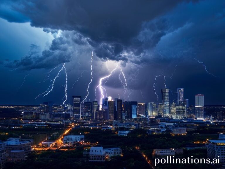
Tornadoes are among nature’s most violent and unpredictable forces. When a tornado earns the label “PDS,” it signals something even more severe than the typical twister. The acronym stands for “particularly dangerous situation,” a designation reserved for storms capable of extreme destruction.
The Science Behind PDS Tornadoes
The National Weather Service (NWS) uses the PDS label when a tornado outbreak or individual tornado presents a credible threat to life and property. These storms often produce winds exceeding 165 mph, stay on the ground for extended periods, and may form in clusters, increasing the risk of multiple touchdowns in populated areas.
PDS tornadoes typically arise from supercell thunderstorms—rotating updrafts that can sustain themselves for hours. These storms are fueled by strong wind shear, warm, moist air at low levels, and cool, dry air aloft. When all ingredients align, the result can be a long-track, violent tornado that leaves a path of destruction hundreds of yards wide.
Meteorologists monitor several indicators to issue PDS warnings:
- Storm Relative Helicity (SRH) values above 300 m²/s²
- Convective Available Potential Energy (CAPE) exceeding 2,000 J/kg
- Significant Tornado Parameter (STP) values greater than 4
- Visible rotation in radar velocity data (e.g., couplets in base velocity scans)
- Reports of large hail or damaging winds in the storm’s path
A Historical Look at Notable PDS Tornado Events
One of the most infamous PDS tornado events occurred during the 2011 Super Outbreak, which spawned 362 tornadoes across the southeastern United States. Among them was the Hackleburg-Phil Campbell EF5 tornado, which traveled 132 miles with peak winds estimated at 210 mph. The storm killed 72 people and destroyed entire communities.
Another example is the 2013 Moore, Oklahoma EF5 tornado. With winds reaching 210 mph and a damage path 14 miles long and 1.3 miles wide, it became one of the most documented violent tornadoes in history. The NWS issued a PDS tornado warning hours before the storm made landfall, urging residents to take immediate shelter.
These events highlight a pattern: PDS tornadoes often occur in series, not isolation. The clustering effect increases the risk of compounded damage, emergency response strain, and long-term recovery challenges for affected regions.
Why PDS Tornadoes Are a Growing Concern for Emergency Planners
As climate patterns shift, some researchers suggest that the frequency and intensity of PDS tornadoes may be increasing. A 2021 study published in the Bulletin of the American Meteorological Society noted a rise in tornado outbreaks east of the Mississippi River, particularly during spring and fall. This shift has prompted emergency managers to rethink preparedness strategies.
Urban sprawl is another factor. As cities expand into tornado-prone regions like the Midwest and Southeast, the potential for catastrophic damage grows. The 2021 Mayfield, Kentucky EF4 tornado demonstrated this risk when it tore through a densely populated area at night, killing 57 people and causing over $4 billion in damages.
Preparedness now includes:
- Enhanced early warning systems using mobile alerts and sirens
- Community tornado drills and public education campaigns
- Improved building codes for residential and commercial structures in high-risk zones
- Real-time radar integration with emergency dispatch centers
- Post-event mental health support for survivors and first responders
These measures are critical, as PDS tornadoes often strike with little warning. Unlike hurricanes, which allow days of preparation, PDS tornadoes can form in minutes, leaving residents with only minutes to react.
The Future of PDS Tornado Detection and Response
Advancements in radar technology are improving detection times. The implementation of dual-polarization radar and phased-array radar systems allows meteorologists to identify debris lofted by tornadoes and track rotation with greater precision. These tools have reduced false alarm rates and increased warning lead times from 8 to 13 minutes on average.
Yet challenges remain. The increasing use of social media during severe weather events has both helped and hindered response efforts. While platforms like Twitter and Facebook allow real-time reporting, they also spread misinformation, complicating official communication.
Looking ahead, artificial intelligence may play a role in forecasting. Machine learning models trained on decades of tornado data could identify patterns too subtle for human analysts to detect. Early experiments show promise in predicting not just where a tornado will form, but how long it may persist and how intense it might become.
Ultimately, the goal remains unchanged: saving lives. As PDS tornadoes become more common in a changing climate, the need for innovation, education, and community resilience has never been greater.
For more on severe weather preparedness, visit our News section. To explore historical tornado events and their impact on communities, check out our Science coverage.
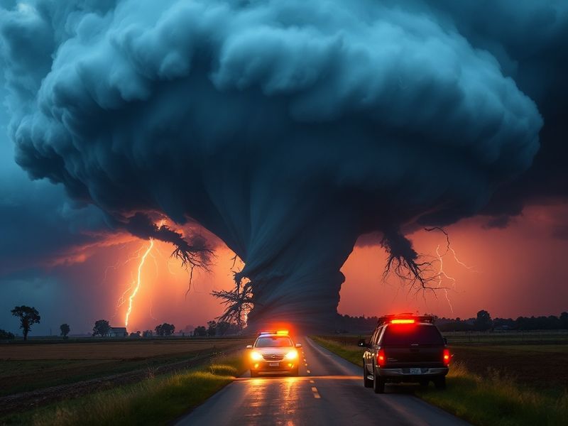
The images and videos of PDS tornadoes are often harrowing, but they serve as a reminder of nature’s power—and our responsibility to respect it. Whether you live in Tornado Alley or a region newly at risk, staying informed and prepared could make all the difference.