tornado watch vs warning
“`html
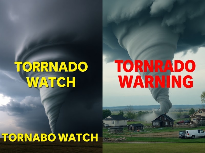
Tornado Watch vs Warning: Understanding the Critical Differences
When severe weather threatens, few alerts carry as much weight as tornado watches and warnings. Though the terms sound similar, they serve distinct purposes in the National Weather Service’s warning system. Confusing the two could mean the difference between taking shelter in time or being caught unprepared when danger strikes.
This distinction becomes particularly important in Tornado Alley and other high-risk regions where conditions can escalate rapidly. Understanding these alerts isn’t just about memorizing definitions—it’s about recognizing what actions each demands from you. The key difference lies in the certainty of the threat and the recommended response.
What a Tornado Watch Actually Means
A tornado watch indicates that atmospheric conditions are favorable for tornado formation. The National Weather Service issues these alerts when there’s potential for severe thunderstorms that could produce tornadoes, typically covering large areas and lasting several hours. These watches don’t guarantee tornadoes will form, but they signal that you should be prepared to take action.
The watch area might cover multiple counties or even entire states, often encompassing regions where thunderstorms are expected to develop. The Storm Prediction Center in Norman, Oklahoma typically issues these when warm, moist air from the Gulf of Mexico collides with cooler, drier air from the north and west. This volatile mix creates the instability needed for supercell thunderstorms—the same systems that often spawn tornadoes.
During a watch, you should:
- Stay informed through local weather updates
- Review your tornado safety plan
- Identify your safe room or shelter location
- Keep emergency supplies (flashlight, water, first aid) ready
- Monitor weather apps and NOAA weather radio
Remember that watches cover broader areas and longer time periods than warnings. They’re essentially a heads-up to stay alert rather than an immediate call to action. The National Weather Service recommends having multiple ways to receive warnings, as conditions can change rapidly even within a watch area.
When a Tornado Warning is Issued
A tornado warning represents an immediate threat to life and property. This alert means that a tornado has been sighted or indicated by weather radar. Warnings typically cover smaller areas—often single counties—and last for much shorter periods, usually 30-60 minutes. When you hear a warning, you should take action immediately because dangerous conditions are either occurring or imminent.
Warning criteria include:
- Tornado detected by trained spotters or law enforcement
- Radar signatures strongly indicating a tornado (debris ball, hook echo, velocity couplet)
- Tornado emergency declared for particularly destructive storms
In some cases, warnings might be issued based on atmospheric clues alone when visual confirmation isn’t possible. The average lead time for tornado warnings has improved significantly over the past decades, now approaching 13-15 minutes nationally. However, in fast-moving storms like those common in the Southeast, that window can shrink dramatically.
When a warning sounds, you should:
- Move to your designated safe room immediately
- Put on sturdy shoes and protective clothing
- Avoid windows and exterior walls
- Cover yourself with a mattress or heavy blankets
- Stay in your shelter until the warning expires
The difference between a watch and warning becomes most critical for mobile home residents and those in vehicles. Mobile homes offer virtually no protection during tornadoes, making immediate evacuation to a sturdy building essential when a warning is issued. Similarly, highway overpasses provide no safe shelter and can actually increase wind speeds around you.
The Science Behind the Alerts
Tornado watches and warnings rely on different forecasting tools and techniques. Watches emerge from the Storm Prediction Center’s analysis of large-scale atmospheric patterns. Meteorologists examine upper-level wind patterns, moisture availability, and temperature gradients across hundreds of miles. These factors determine whether the ingredients for tornado formation exist over a broad region.
In contrast, warnings depend on real-time observations and high-resolution radar data. Doppler radar can detect rotation within thunderstorms up to 100 miles away, while dual-polarization radar helps identify debris being lofted by tornadoes. The National Weather Service’s Advanced Radar (NEXRAD) network provides the foundation for these warnings, with each radar site covering approximately 143-mile radius.
Recent technological advances have improved warning accuracy significantly. The introduction of the Warn-on-Forecast system allows meteorologists to issue warnings based on high-resolution computer models that predict storm evolution 30-60 minutes before formation. This “warn-on-forecast” approach represents a paradigm shift from the traditional “warn-on-detection” method that dominated tornado warning operations for decades.
However, technology has limitations. Radar can only detect rotation at cloud level, not at the ground where tornadoes actually form. This means that even with perfect radar data, meteorologists must rely on spotter networks—trained volunteers who report ground truth conditions—to confirm actual tornado touchdowns.
Real-World Impacts and Response Strategies
The consequences of confusing watches and warnings became tragically clear during the 2011 Super Outbreak. Many residents in Alabama took shelter only after tornado warnings were issued, but the sheer number of storms overwhelmed local resources. This event led to improvements in warning dissemination and public education campaigns about the importance of immediate action during warnings.
In contrast, the 2013 Moore, Oklahoma EF5 tornado demonstrated how effective warnings can save lives when properly heeded. Despite the storm’s catastrophic intensity, the 16-minute warning lead time contributed to significantly lower fatality rates than similar historical events. This success story highlights how understanding the difference between watches and warnings translates directly into survival rates.
Community response plans have evolved to address these distinctions. Many schools and businesses now conduct tornado drills specifically timed to warning scenarios, recognizing that watches require preparation while warnings demand immediate action. Emergency managers emphasize that the 30-second difference between hearing a watch versus a warning could mean the difference between being in your safe room versus being caught outside during the storm.
Technology plays an increasingly important role in bridging this gap. Wireless Emergency Alerts (WEA) now push tornado warnings directly to cell phones within seconds of issuance, bypassing the need to be actively monitoring weather radio. Many communities have also implemented outdoor siren systems that activate only during warnings, creating a clear distinction between the two alert types.
For those living in tornado-prone regions, developing a personalized response plan remains crucial. The National Weather Service recommends identifying your safe room location before severe weather season begins. This should be an interior room on the lowest floor of your home, away from windows and exterior walls. Mobile home residents should pre-identify nearby sturdy buildings they can reach within 5-10 minutes when a warning is issued.
Understanding the difference between tornado watches and warnings ultimately comes down to recognizing the level of threat and required response. A watch means “be prepared”—a warning means “take action now.” This simple distinction could save your life when the next dangerous storm approaches your community.
—
METADATA
{
“title”: “Tornado Watch vs Warning: Key Differences for Safety”,
“metaDescription”: “Learn the crucial differences between tornado watches and warnings. Understand when to prepare versus when to take immediate shelter.”,
“categories”: [“News”, “Science”],
“tags”: [“tornado safety”, “severe weather alerts”, “storm preparedness”, “National Weather Service”, “tornado warnings”],
“imageDescription”: “A split-screen image showing a calm weather monitoring setup on one side (with radar screens and weather radio) and an intense tornado warning alert notification on mobile phone on the other side, with a dark stormy sky background”
}
—END METADATA—
“`