
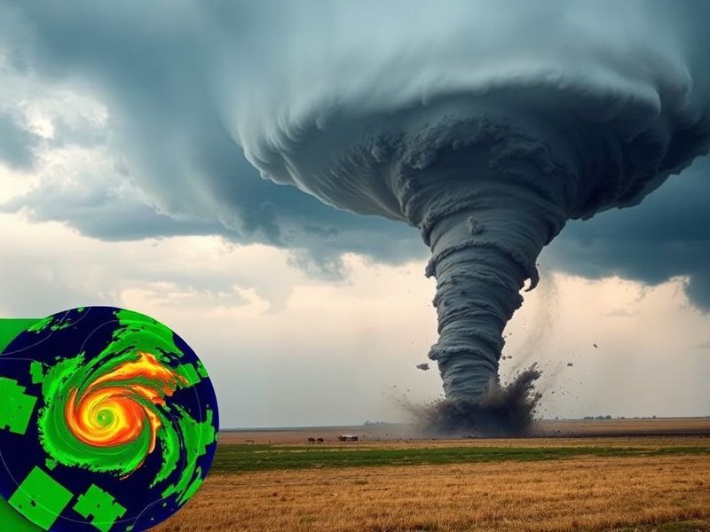
Tornado Radar: How Modern Detection Saves Lives
“`html
Tornado Radar: How Modern Detection Saves Lives
Tornadoes remain among the most destructive forces in nature, capable of leveling entire neighborhoods in minutes. Yet, thanks to advances in radar technology, forecasters can now detect these violent storms earlier and with greater accuracy than ever before. Tornado radar systems have evolved from basic weather surveillance tools into sophisticated networks that provide critical minutes of warning time to communities in harm’s way.
These systems combine Doppler radar, dual-polarization technology, and machine learning algorithms to distinguish between rain, hail, and the rotating debris clouds that signal a tornado. The result is a life-saving network that has dramatically reduced fatalities over the past few decades. Understanding how tornado radar works—and how to interpret its data—can help the public make smarter decisions when severe weather threatens.
How Tornado Radar Works: The Science Behind the Detection
At the heart of tornado detection is Doppler radar, which measures the velocity of precipitation particles moving toward or away from the radar. When winds within a storm begin to rotate—forming a mesocyclone—the radar detects this motion as a shift in velocity patterns. This rotation often precedes tornado formation by 30 minutes or more, giving forecasters a crucial window to issue warnings.
Modern radar systems, such as the National Weather Service’s Next Generation Weather Radar (NEXRAD), use a network of 160 high-resolution S-band Doppler radars across the United States. Each radar scans the atmosphere at multiple elevation angles, creating a three-dimensional picture of storm structure. Dual-polarization technology, added to NEXRAD in 2011, further improves detection by analyzing the shape and size of precipitation particles. This helps distinguish between heavy rain, large hail, and debris lofted by a tornado—key indicators of a storm’s intensity.
The most advanced systems now incorporate phased-array radar, which scans the sky electronically rather than mechanically. This allows for faster updates—sometimes as frequent as every 30 seconds—making it easier to track rapidly evolving storms. When combined with artificial intelligence, these systems can predict tornado formation with increasing precision, reducing false alarms and improving public trust in warnings.
Key Features of Tornado Radar Systems
Not all radar systems are created equal when it comes to tornado detection. The most effective setups share several critical features:
- Doppler Velocity Data: Measures wind speed and direction within storms, identifying rotation patterns that may lead to tornadoes.
- Dual-Polarization: Discriminates between different types of precipitation and detects airborne debris, a hallmark of a tornado on the ground.
- High Temporal Resolution: Frequent scanning updates (under one minute) help track storm evolution in real time.
- Phased-Array Antennas: Enable rapid scanning without mechanical delays, improving lead times for warnings.
- Machine Learning Integration: Enhances pattern recognition, reducing false positives and improving warning accuracy.
These features work together to provide a comprehensive view of severe storms. For instance, when a radar detects a debris ball—a concentrated area of high reflectivity from lofted materials—it often confirms a tornado is on the ground, even if it’s not visible. This capability has saved countless lives by validating warnings that might otherwise be dismissed as false alarms.
The Role of Public Alert Systems in Tornado Radar
Radar technology is only as effective as the systems that communicate its findings to the public. The National Weather Service’s Emergency Alert System (EAS) and Wireless Emergency Alerts (WEA) broadcast tornado warnings directly to smartphones within seconds of issuance. These alerts rely on radar data processed by meteorologists at local forecast offices, who issue warnings based on confirmed signatures of tornadoes.
Community preparedness also plays a vital role. Schools, hospitals, and businesses in tornado-prone regions conduct regular drills and maintain emergency plans. The Storm Prediction Center (SPC) in Norman, Oklahoma, issues outlooks days in advance, while local meteorologists provide real-time updates during active weather. Social media platforms and weather apps like Dave’s Locker Weather Tools further amplify these warnings, ensuring alerts reach as many people as possible.
Yet, challenges remain. Rural areas with limited radar coverage—such as parts of the Great Plains—rely on temporary mobile radar units deployed during severe weather events. These units, often operated by universities or research institutions, fill gaps in the permanent network, providing critical data for underserved communities.
Case Studies: Tornado Radar in Action
One of the most notable examples of tornado radar’s effectiveness occurred during the 2011 Super Outbreak, one of the deadliest tornado outbreaks in U.S. history. NEXRAD systems detected rotation in storms hours before the first tornado touched down, allowing forecasters to issue warnings with unprecedented lead times. While the outbreak still resulted in 324 fatalities, improved warnings are credited with saving thousands of lives.
In 2021, a violent EF-4 tornado struck Mayfield, Kentucky, with little warning due to its unusual nighttime formation. Radar operators at the National Weather Service in Paducah detected the storm’s rotation and issued a tornado emergency—the highest level of warning—just 15 minutes before the tornado hit. Though the damage was catastrophic, the warning system provided critical time for residents to seek shelter.
These examples highlight both the progress and the limitations of tornado radar. While technology has advanced, human factors—such as public response to warnings—still determine outcomes. Education and awareness campaigns, like those promoted by Dave’s Locker Emergency Preparedness, help bridge this gap by teaching people how to interpret radar-based warnings and take appropriate action.
The Future of Tornado Radar: AI, Drones, and Beyond
The next frontier in tornado detection lies in artificial intelligence and unmanned systems. Researchers are developing AI models that can analyze radar data in real time, predicting tornado formation before traditional methods. These models learn from historical storm data, improving their accuracy with each passing season.
Drones equipped with weather sensors are also being tested to fill gaps in radar coverage. These small, unmanned aircraft can fly into storms at low altitudes, collecting data that ground-based radar cannot. Projects like NOAA’s Sensing Hazards with Operational Unmanned Technology (SHOUT) aim to integrate drone data into forecast models, potentially extending warning times even further.
Another promising development is the use of geostationary satellites like GOES-16 and GOES-17, which provide continuous high-resolution imagery of storm development. When combined with radar data, these satellites offer a multi-dimensional view of severe weather, improving lead times for tornado warnings.
As these technologies mature, the goal is to push warning times beyond 30 minutes—a threshold that could save even more lives. However, challenges such as data processing speeds, cost, and public adoption remain hurdles to widespread implementation.
Conclusion: Why Tornado Radar Matters
Tornado radar is more than just a technological marvel; it’s a lifeline for communities in the path of destruction. From the rotating signatures detected by Doppler radar to the AI-driven models of the future, these systems provide the critical minutes needed to save lives. Yet, their effectiveness depends on more than just technology—it requires public awareness, preparedness, and trust in the warning systems.
As climate change increases the frequency and intensity of severe weather, the role of tornado radar will only grow in importance. Investments in research, infrastructure, and education will ensure that these systems continue to evolve, keeping communities safer in an increasingly unpredictable world.
For those living in tornado alley or any region prone to severe storms, staying informed is the first step toward safety. Tools like Dave’s Locker Weather Tools provide real-time radar data and alerts, empowering individuals to make informed decisions when severe weather strikes. By understanding how tornado radar works—and how to respond to its warnings—we can turn technology into protection.