Weather Radar: How It Works and Why It Matters
“`html
Weather Radar: How It Works and Why It Matters
Weather radar systems have become indispensable tools for meteorologists, emergency responders, and the public alike. These systems provide real-time data on precipitation, storm intensity, and wind patterns, enabling more accurate forecasts and timely warnings. But how exactly do they function, and what broader implications do they hold for society?
The Science Behind Weather Radar
At its core, weather radar operates on the principle of sending out radio waves and analyzing their return signals. A transmitter emits pulses of electromagnetic radiation, which bounce off objects in the atmosphere—typically raindrops, snowflakes, or hailstones. The radar then measures the time delay and frequency shift of the returning waves to determine the location, intensity, and movement of precipitation.
Doppler radar, a more advanced version, detects shifts in wave frequency caused by the motion of particles. This allows meteorologists to track wind speed and direction within storms, identifying rotation that may signal tornado formation. Dual-polarization radar goes further by transmitting and receiving waves in both horizontal and vertical planes, providing detailed information about precipitation type—whether it’s rain, snow, or a mix.
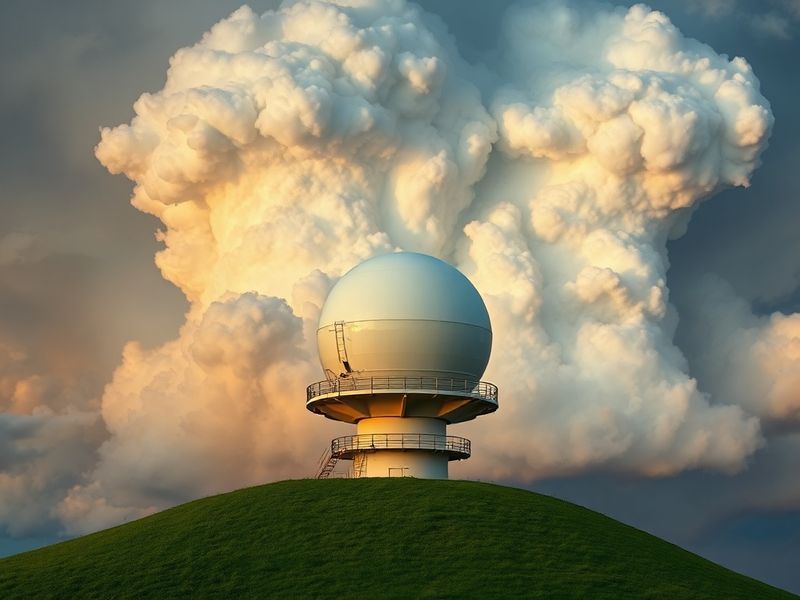
The National Weather Service and other agencies rely on a network of these radars to cover the entire United States. Each radar station has a range of approximately 250 miles, with overlapping coverage ensuring no blind spots. This redundancy is critical for tracking severe weather as it develops.
Key Components of a Weather Radar System
- Transmitter: Generates the radio waves that are sent into the atmosphere.
- Antenna: Rotates to scan different directions, focusing the radar beam where needed.
- Receiver: Captures the reflected signals and converts them into usable data.
- Signal Processor: Filters noise and interprets the data to produce radar images.
- Display System: Renders the information in a format that forecasters and the public can understand.
Why Weather Radar Matters Beyond Forecasting
While weather radar is most commonly associated with tracking storms, its applications extend far beyond basic forecasting. For instance, aviation heavily depends on radar data to plan flight paths and avoid turbulence. Pilots receive real-time updates on storm cells, enabling safer takeoffs and landings.
Agriculture is another sector that benefits significantly from radar technology. Farmers use precipitation forecasts to optimize irrigation schedules, reducing water waste and improving crop yields. Similarly, floodplain managers rely on radar data to assess flood risks and coordinate evacuations when necessary.
Climate research also benefits from long-term radar data. By analyzing trends over decades, scientists can identify shifts in storm patterns, which may indicate broader climate change effects. This information is vital for policymakers crafting resilience strategies for vulnerable communities.
Public safety agencies use radar to coordinate emergency responses during extreme weather events. From hurricanes to blizzards, timely warnings can save lives and reduce economic losses. The integration of radar data with other technologies, such as GPS and satellite imagery, enhances the precision of these efforts.
The Future of Weather Radar Technology
The next generation of weather radar promises even greater accuracy and efficiency. One innovation is phased-array radar, which uses multiple small antennas to electronically steer the radar beam without mechanical rotation. This allows for faster scans and more detailed storm tracking.
Another advancement is the integration of artificial intelligence (AI) into radar data processing. AI algorithms can quickly analyze vast amounts of data, identifying patterns that might elude human forecasters. This could lead to earlier detection of severe weather, giving communities more time to prepare.
Climate change is also driving demand for improved radar coverage in underserved regions. In parts of Africa and Southeast Asia, where radar networks are sparse, new installations could provide critical data for disaster preparedness. International collaborations are underway to expand global radar coverage, ensuring no community is left vulnerable.
Despite these advancements, challenges remain. Radar systems are expensive to install and maintain, and their effectiveness can be limited by terrain or urban interference. However, ongoing research into cost-effective solutions, such as smaller, portable radars, offers hope for overcoming these barriers.
A Call for Greater Investment and Public Awareness
As weather patterns grow increasingly erratic due to climate change, the importance of weather radar cannot be overstated. Governments and private organizations must prioritize funding for radar infrastructure, ensuring that communities have access to reliable, real-time data. Public education is equally critical—understanding radar imagery empowers individuals to make informed decisions during severe weather events.
For those interested in exploring weather science further, Dave’s Locker’s Science section offers in-depth articles on meteorology and related fields. Additionally, Tech enthusiasts can learn about the latest innovations shaping the future of weather monitoring.
Weather radar is more than just a tool for forecasters—it’s a lifeline for communities, a guide for industries, and a window into the complexities of our changing climate. By investing in its future, we invest in a safer, more informed world.