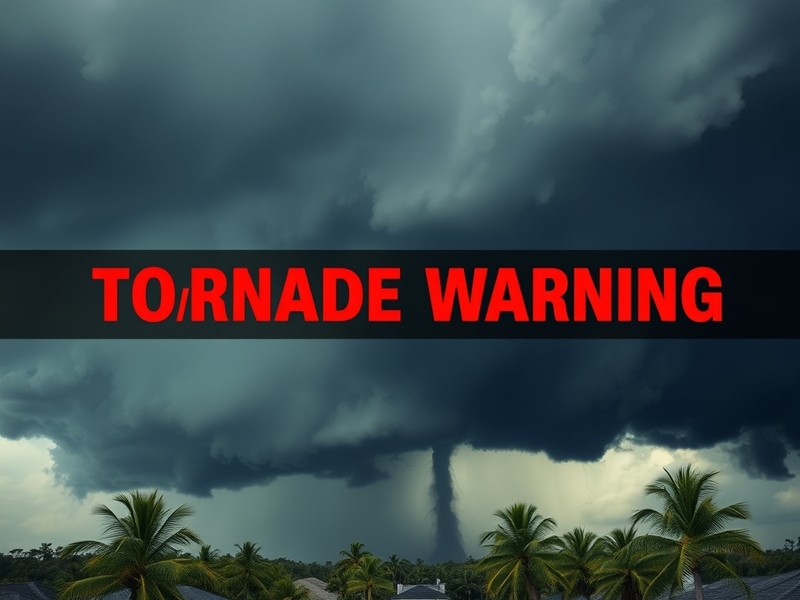
Residents of St. Lucie County, Florida, faced a sudden and unnerving alert on the evening of May 18 when a tornado warning was issued by the National Weather Service. The warning came after a line of severe thunderstorms moved through the region, bringing heavy rain, strong winds, and the potential for tornadic activity. While no tornado touched down, the episode underscored the importance of preparedness in an area where severe weather is not uncommon but always unpredictable.
What Triggered the Tornado Warning
The warning was triggered by radar-indicated rotation within a thunderstorm cell moving northeast across St. Lucie County. Doppler radar detected a couplet of inbound and outbound velocities, a classic signature of a rotating mesocyclone capable of producing a tornado. The National Weather Service in Melbourne issued the warning at 7:12 p.m., advising residents to take immediate shelter due to the potential for a tornado within the next 30 minutes.
Though radar signatures can be strong indicators, they don’t always translate to ground impacts. In this case, the rotation weakened as the storm moved over slightly less favorable atmospheric conditions. Still, the warning prompted emergency alerts on phones across the county, including in Port St. Lucie and Fort Pierce—areas densely populated and home to critical infrastructure such as hospitals and schools.
Public Response and Emergency Preparedness
Social media lit up as residents shared warnings, photos of dark skies, and videos of emergency vehicles patrolling. The St. Lucie County Emergency Management office activated its emergency notification system, sending Wireless Emergency Alerts (WEAs) and pushing updates via its social channels. Local schools followed protocol, moving students to interior hallways and bathrooms, while hospitals went on standby for possible storm-related injuries.
Interviews with residents revealed a mix of urgency and familiarity. “Living in Florida, you get used to storm alerts,” said Maria Rodriguez, a mother of two in Port St. Lucie. “But every time the siren goes off, you still feel that rush of anxiety. You drop everything and make sure everyone is safe.” Her sentiment reflects a broader pattern: while Floridians are conditioned to severe weather, the suddenness of tornado warnings can still evoke stress and disruption.
The county’s Emergency Operations Center (EOC) remained on heightened alert for over an hour. Officials monitored radar, coordinated with first responders, and prepared shelters in case conditions deteriorated. Fortunately, the storm weakened, and the warning was allowed to expire at 8:15 p.m. No significant damage was reported, though downed tree limbs and localized power outages were noted in rural areas.
Broader Implications: Tornado Risk in Florida
Tornadoes in Florida are often overshadowed by hurricanes and tropical storms, but they pose a real and underappreciated threat. Florida ranks among the top states in the U.S. for total tornado occurrences annually, though most are weak (EF-0 or EF-1) and short-lived. However, the state has experienced some of the nation’s deadliest tornadoes, including the 2007 Enterprise, Alabama tornado that crossed into the Florida Panhandle, killing eight.
Several factors contribute to Florida’s tornado risk:
- Warm, moist air from the Gulf and Atlantic: This fuels thunderstorms capable of rotating.
- Frequent strong wind shear: Especially during spring and early summer, when jet stream disturbances interact with surface boundaries.
- Landfalling tropical systems: Hurricanes often spawn tornadoes in their outer rain bands as they move inland.
St. Lucie County, situated on the Atlantic coast, is particularly vulnerable due to its exposure to both sea-breeze-driven storms and tropical systems. The 2020 hurricane season saw multiple tornado warnings issued across the region, including one that led to minor structural damage in Vero Beach.
Meteorologists point out that climate change may be intensifying these risks. Warmer ocean temperatures can fuel stronger thunderstorms, while shifting atmospheric patterns could increase the frequency of favorable tornado environments. “We’re seeing more robust storm structures earlier in the season,” said Dr. Elena Vasquez, a climate scientist at Florida Atlantic University. “That doesn’t guarantee more tornadoes, but it raises the ceiling on what’s possible.”
Lessons Learned and Moving Forward
The St. Lucie County tornado warning serves as a timely reminder of the need for vigilance and preparation. While no lives were lost and damage was minimal, the event highlighted both strengths and gaps in the region’s emergency response framework.
Key takeaways from the incident include:
- Public awareness: Many residents rely on phone alerts, but older adults or those without smartphones may miss notifications. Community outreach and siren testing remain critical.
- Infrastructure resilience: While power outages were minor, future storms could stress an aging grid. Investments in underground utilities and microgrids could reduce long-term disruptions.
- Inter-agency coordination: The seamless collaboration between the National Weather Service, county EOC, and local media demonstrated best practices. Such coordination must be maintained and expanded.
- Post-event review: The county should conduct a debrief to assess response times, communication clarity, and shelter accessibility—especially for vulnerable populations.
Looking ahead, St. Lucie County can build on this experience. The integration of dual-polarization radar and AI-driven forecast models is improving lead times for tornado warnings nationwide. Locally, emergency planners are exploring partnerships with amateur radio operators to enhance communication during power outages—a strategy already used successfully in parts of the Midwest.
For now, residents are returning to routine, but the sky remains a reminder of nature’s unpredictability. One thing is clear: in a state where the weather can shift from sunshine to severe storms within hours, preparedness isn’t optional—it’s essential.